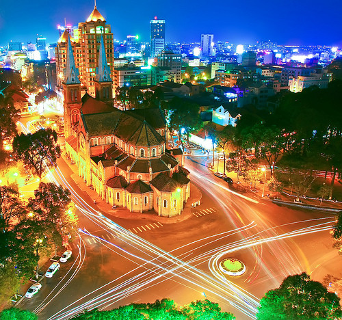
 Welcome to VIETNAM TRAVEL TOURIST CO., LTD.
Each trip is custom-designed to be memorable,
where we will always be alongside you.
Welcome to VIETNAM TRAVEL TOURIST CO., LTD.
Each trip is custom-designed to be memorable,
where we will always be alongside you.
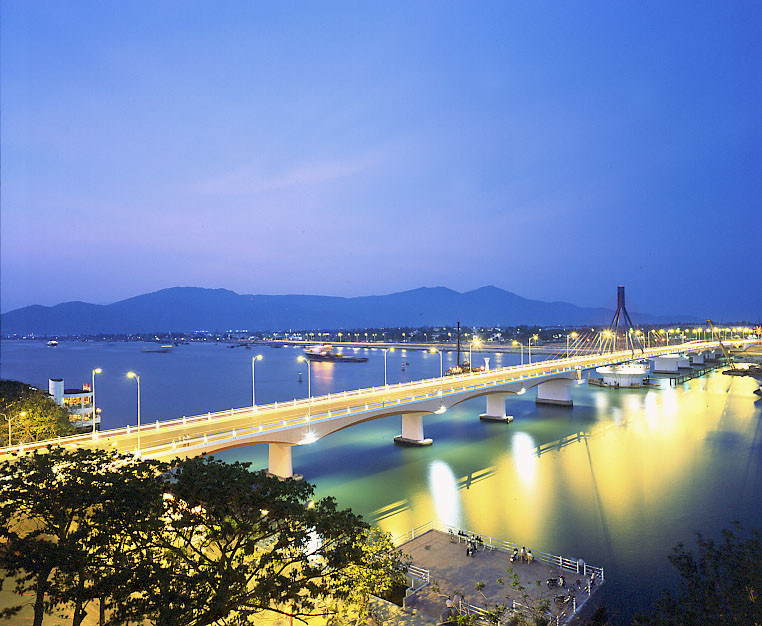


QUANG NGAI PROVINCE

Located on South-Central Viet Nam, Quang Ngai borders
Quang Nam Province on the north, Binh Dinh Province on the south, Kon Tum Province on the west and East Sea on the east with 135km seaside.
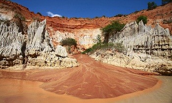
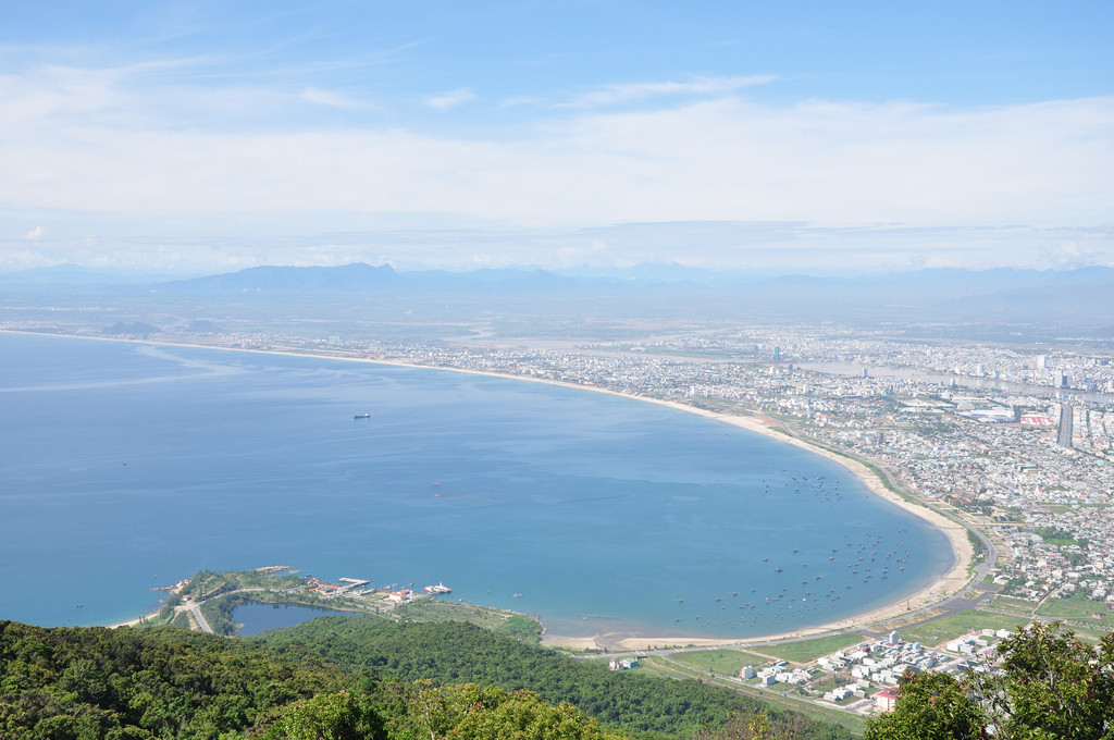
The province is surrounded by Truong Son Mountains on one side and the East Sea on the other. As a result, the topography includes mountains, plains, seaside and offshore
islands. The main rivers are Tra Khuc, Tra Bong, and Ve rivers.
Climate: The rain season lasts from September to December. It is hot between April and August and the weather is cold from January to March. Annual average temperature is
260C.
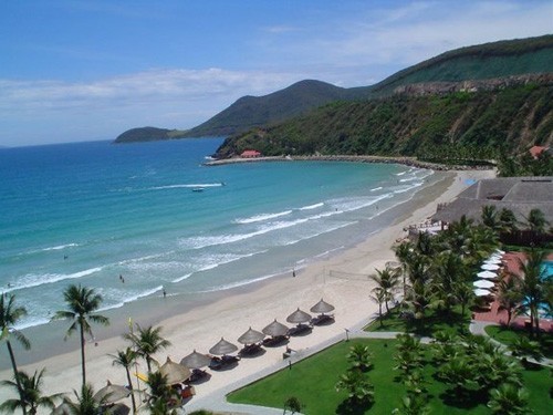
Sa Huynh Beach is well-known with clear water, golden sand and pine trees. My Khe Beach is the most beautiful beach in Central Vietnam. It has fine white powdery sand,
gently waves and poplars forest.
Coming to there, tourists have chance to visit old battlefields with popular names like Ba To, Tra Bong, Ba Gia, Van Tuong and Son My.
Quang Ngai City is 100km from Hoi An, 131km from Da Nang, 174km from Qui Nhon, 238km from Hue, 860km from Ho Chi Minh City, and 889km from Hanoi. National Highway No.1A
and North-South Express Train runs through the province. National Highway No.24A links Quang Ngai to Central Highlands and Laos.
Source: vietnamtourism.com